Various Exceptions to the Regional Outlines
Various Exceptions to the Regional Outlines
There are a variety of lands that are unique and set apart in one way or another from other realms that surround them, below is some info on these areas, though they are spread across the globe. Each tends to have their own structure that is not part of the region to which they physically belong. This could be due to a racial, religious or other sort of separationist situation.
the Ilots Sommeil - aka the Sleeping Isles
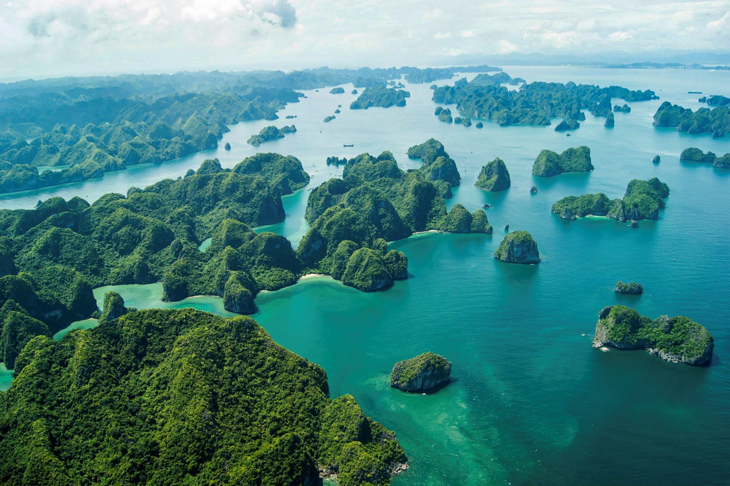
- the Sleeping Isles - A collection of roughly 20,000 islands off the east coast of the Savage Lands, the Sleeping Isles have a very tribal society with certain islands being under the control of a family, one of the larger islands, however is home to a force of undead hunters with global reach. #22 on the global map
Valley of the Scorpion Queen
- Bagog's Domain - Predominately the "Sea of Dust" on the southern border of the Horde, northern border of the Eastern Empire and bound on the edges of the desert mountain range. The realm of the scorpion queen is rarely traveled or adventured within. #13 on the global map
the Dragon Lords
- Scathra's Domain - A relatively large area of mostly snow, ice and mountains and with a large population of draconians who are generally not seen outside this area. Considered dragon cultists for the most part, they have not caused problems in a long time and mostly keep to themselves. The realm of the Ice Dragon is rarely traveled or adventured within. #12 on the global map
the Qu'Ciel
- Avariel Sanctuary - An area northwest of Lothlorien in a large valley surrounded on all sides by mountains all with heights of 15,000 feet and above. Some of the mountains existed in the times of the Age of Wars, but Zeus flexed his power to alter the landscape and seal the area on all sides to protect his creations known as the Winged Folk. The mountain passes are not easy to navigate on foot, the lowest of which is at 12,000 feet which makes accessing the area difficult, unless you can fly, of course!
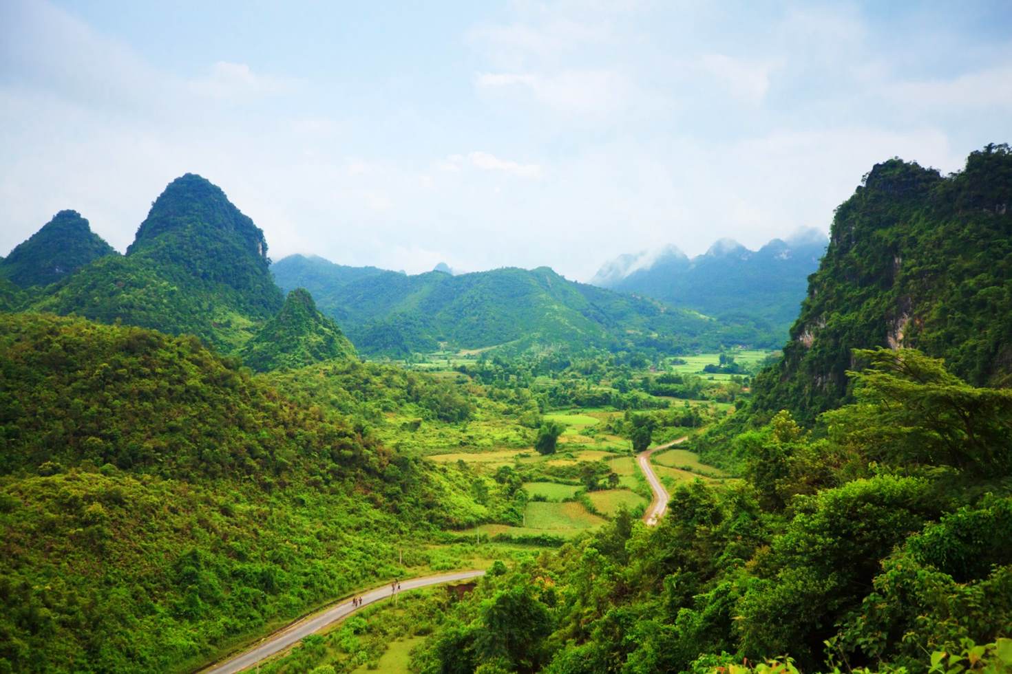
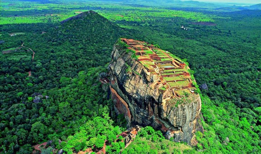
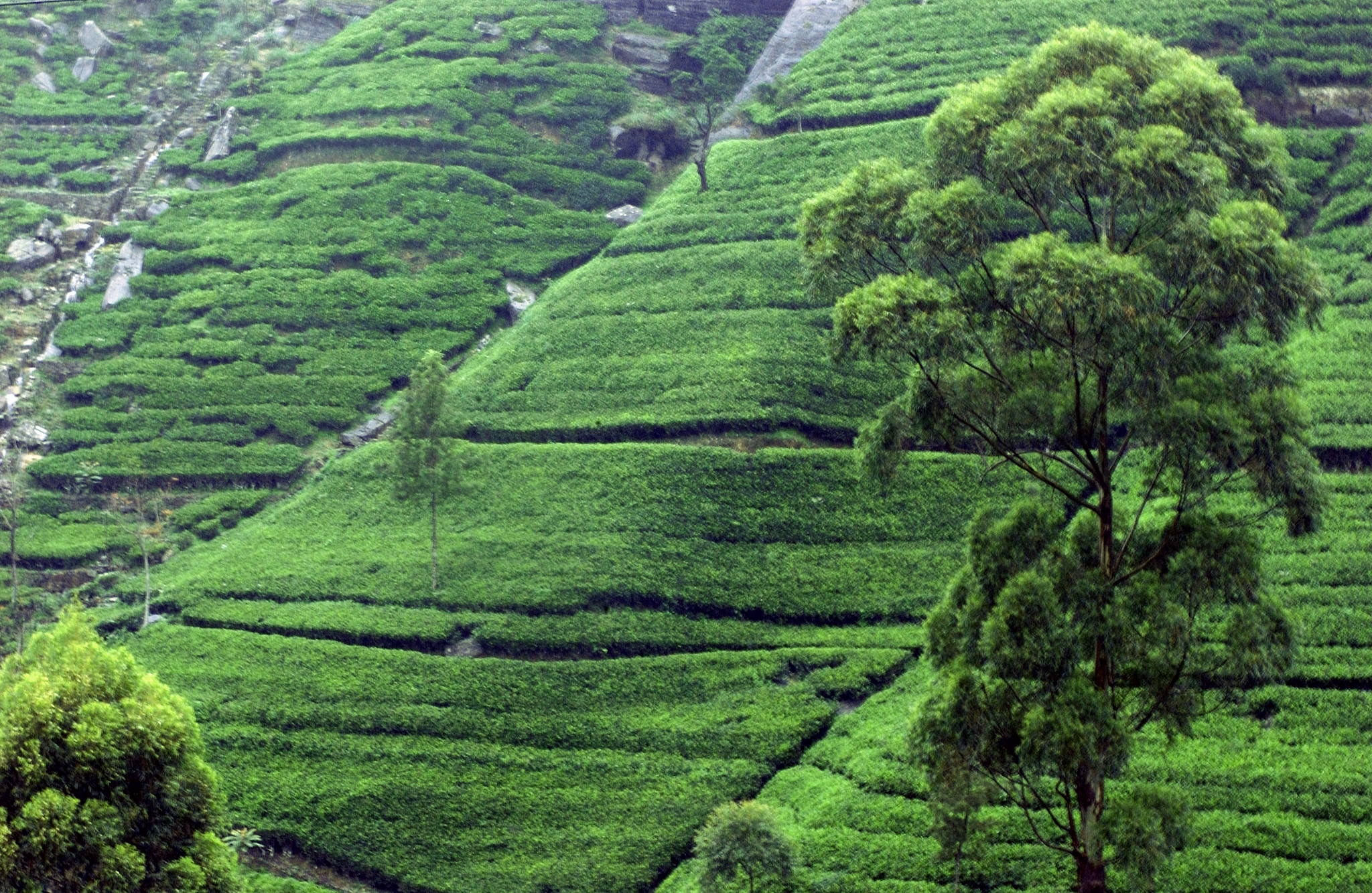
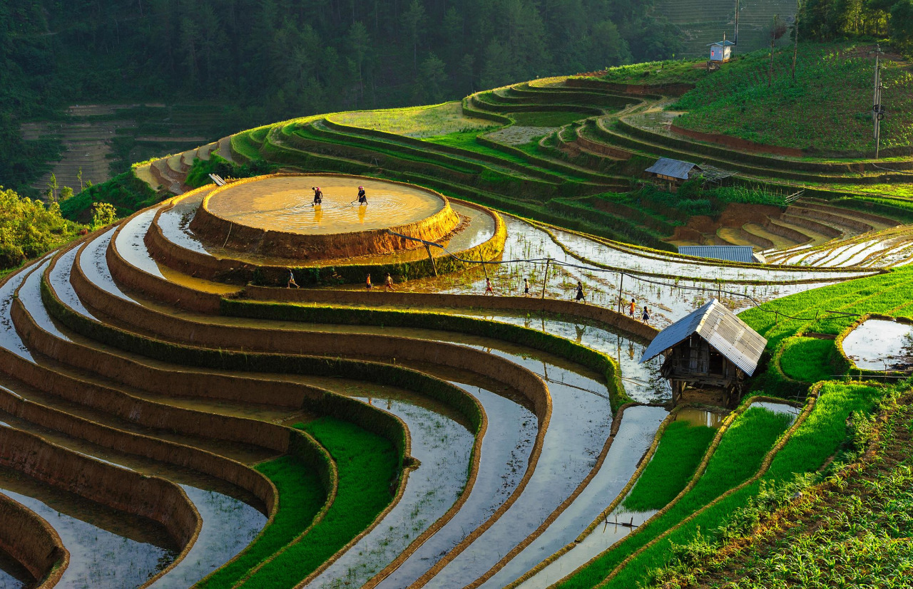
Selection of images to help visualize the unique locations discussed above
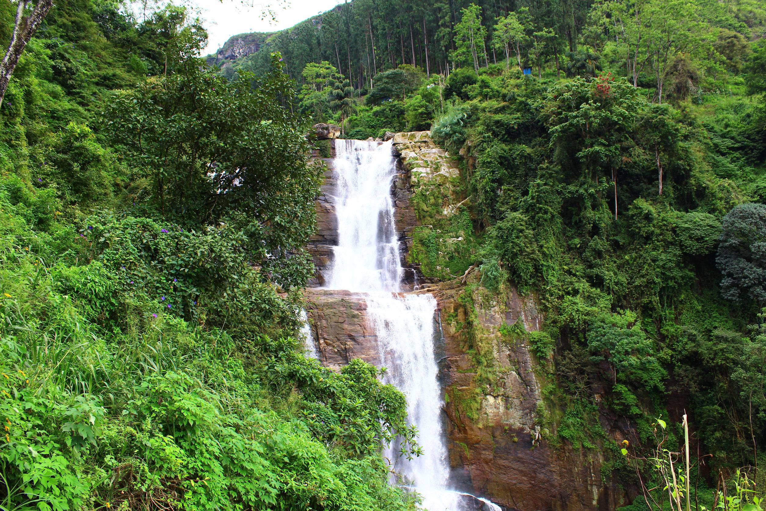
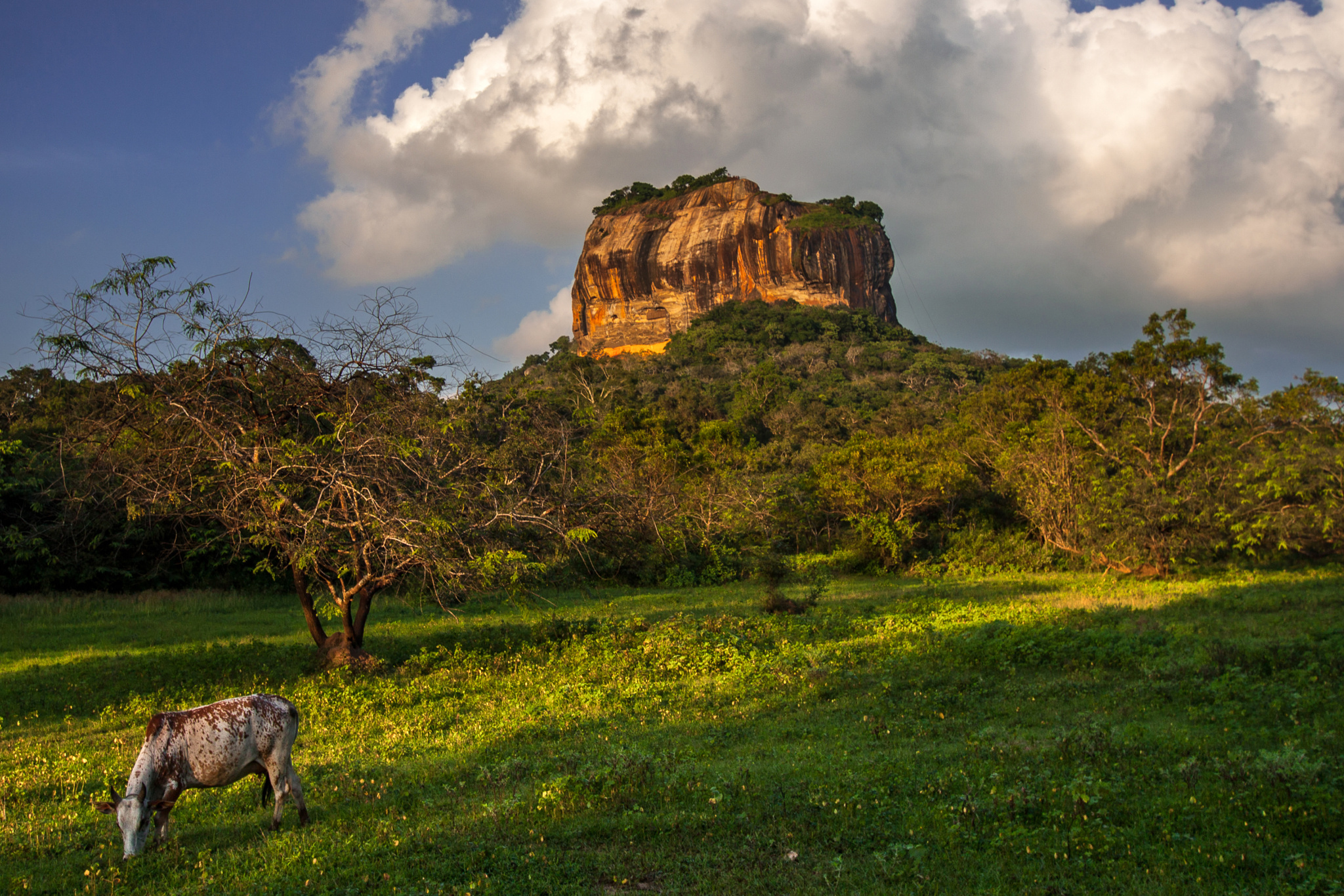
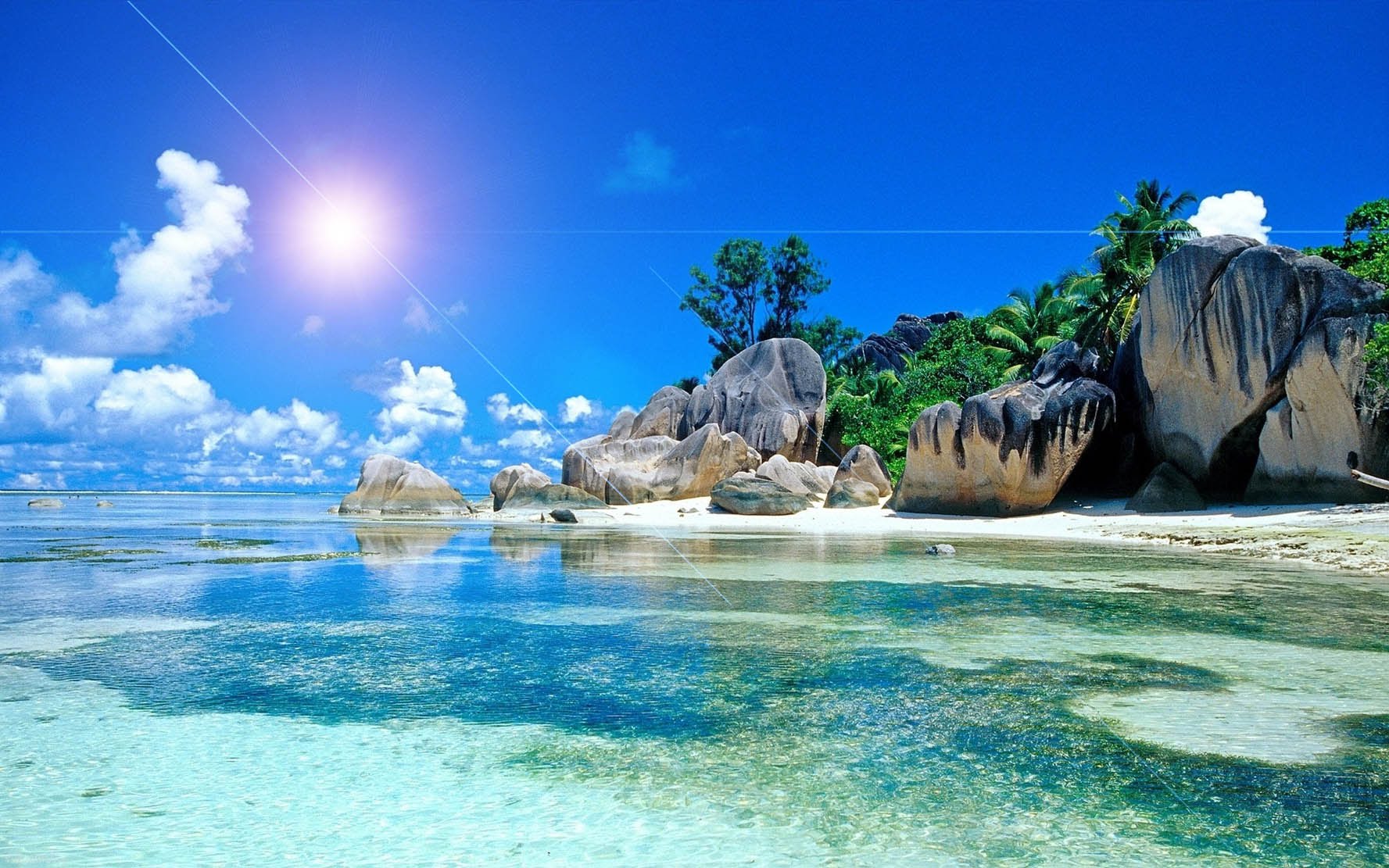
- Area visuals image repository - below are a variety of images
Ilots Sommeil 1
/territory visuals/unclaimed/sleeping isles/Ilots Sommeil 1.jpg
1470px x 980px
/territory visuals/unclaimed/sleeping isles/Ilots Sommeil 1.jpg
1470px x 980px
Ilots Sommeil 2
/territory visuals/unclaimed/sleeping isles/Ilots Sommeil 2.jpg
900px x 533px
/territory visuals/unclaimed/sleeping isles/Ilots Sommeil 2.jpg
900px x 533px
Ilots Sommeil 3
/territory visuals/unclaimed/sleeping isles/Ilots Sommeil 3.jpg
2048px x 1334px
/territory visuals/unclaimed/sleeping isles/Ilots Sommeil 3.jpg
2048px x 1334px
Ilots Sommeil 4
/territory visuals/unclaimed/sleeping isles/Ilots Sommeil 4.jpg
1280px x 827px
/territory visuals/unclaimed/sleeping isles/Ilots Sommeil 4.jpg
1280px x 827px
Ilots Sommeil 5
/territory visuals/unclaimed/sleeping isles/Ilots Sommeil 5.jpg
1440px x 959px
/territory visuals/unclaimed/sleeping isles/Ilots Sommeil 5.jpg
1440px x 959px

Sri-Lanka
/territory visuals/unclaimed/sleeping isles/Sri-Lanka.jpg
1425px x 978px
/territory visuals/unclaimed/sleeping isles/Sri-Lanka.jpg
1425px x 978px
Waterfall-Ramboda-Nuwara-Eliya-Sri-Lanka
/territory visuals/unclaimed/sleeping isles/Waterfall-Ramboda-Nuwara-Eliya-Sri-Lanka.jpg
2508px x 1672px
/territory visuals/unclaimed/sleeping isles/Waterfall-Ramboda-Nuwara-Eliya-Sri-Lanka.jpg
2508px x 1672px
cb73206935b5a852d122b0f30cef463d
/territory visuals/unclaimed/sleeping isles/cb73206935b5a852d122b0f30cef463d.jpg
2048px x 1366px
/territory visuals/unclaimed/sleeping isles/cb73206935b5a852d122b0f30cef463d.jpg
2048px x 1366px
maxresdefault
/territory visuals/unclaimed/sleeping isles/maxresdefault.jpg
1777px x 1111px
/territory visuals/unclaimed/sleeping isles/maxresdefault.jpg
1777px x 1111px
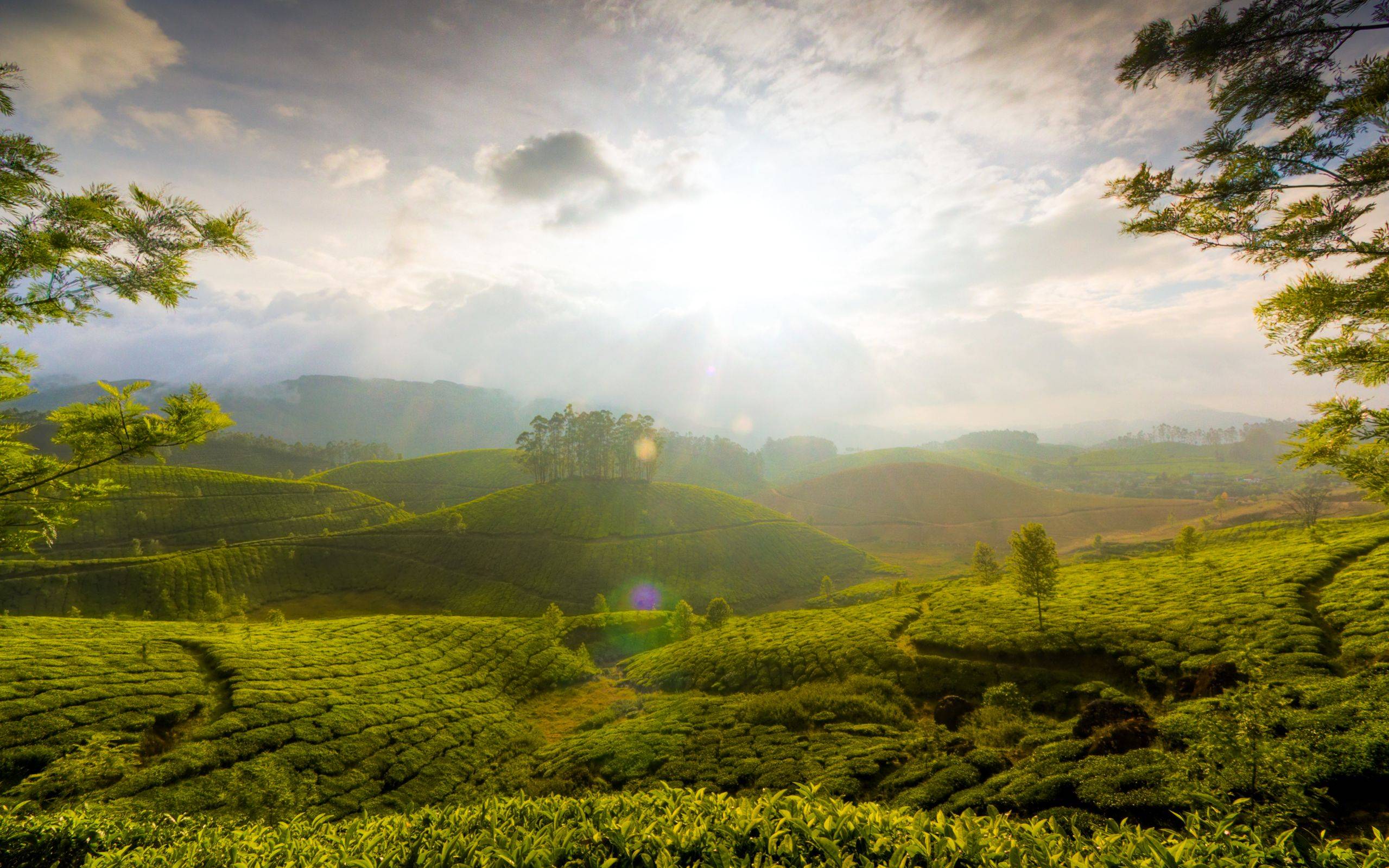
tea 4
/territory visuals/unclaimed/sleeping isles/tea 4.jpg
2559px x 1599px
/territory visuals/unclaimed/sleeping isles/tea 4.jpg
2559px x 1599px
- Images repository (specifically for almanac connections to regional imagery to help visualize)